Guatemala on Foot: Active Volcanoes, Cloud Forests, and Mayan Trails

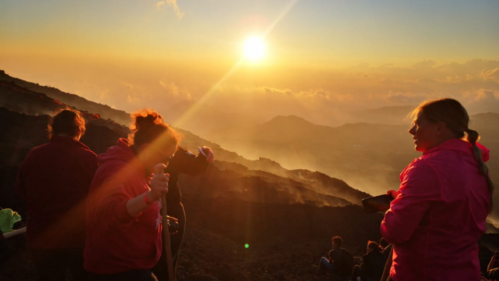
Acatenango has taken the crown, and we can understand why. From the summit you look down on six volcanoes, on Antigua sitting in its valley, on ridge after ridge running west, and if the morning is clear, the Pacific coast. Fuego is right in front of you, three kilometres away, and it goes off all night. Camps have been set up on the slopes for exactly that. It is dramatic and beautiful to see.

But it is one hike out of many. Here are a few others Annie from Bruce Guatemala suggests.

Acatenango Guatemala

Pacaya, a Smaller Active Volcano to Climb

An hour by road from Antigua, where the horses wait at the trailhead for anyone who would rather ride the first stretch. Then an hour on foot through pine and oak, up to the Cerro Chino ridge. The ground turns from soil to black gravel to lava, the dry flows of 2010 and 2021, and the vents in it are still warm enough that guides carry marshmallows to cook on the hot spots. Agua fills the skyline behind the travellers. It is a half day, and clients who swore they were not walkers come down pleased with themselves.

view at pacaya top Guatemala

Getting up for Sunrise at Lake Atitlán

The alarm goes at 3am and nobody is happy about it. A short boat ride, then a vehicle to the starting point. Clients climb forty-five minutes from the drop-off at Santa Clara, in the dark, to the Rostro Maya ridge above San Juan la Laguna. Then they sit. The lake is 700 metres below, black, and it fills a caldera that collapsed 84,000 years ago. San Pedro and Tolimán sit opposite. Coffee and tea come out with pan dulce while the light arrives, and by then nobody minds the alarm and has forgotten all about it.

sunrise atitlan indian nose

The Valley above Antigua

The Antigua valley has hikes on every flank. One is El Hato, on the ridge to the north, forty minutes up a dirt road, and the walk back down goes through coffee and maize with the whole town laid out underneath, tiled roofs and all. No altitude to worry about. Other trails reach the Kaqchikel villages, San Antonio Aguas Calientes and Santa María de Jesús among them, where the weaving on the backstrap loom is not a demonstration put on for anybody.

Antigua valley

Further West, The Cuchumatanes

The highest non-volcanic range in Central America, reached from Huehuetenango. Above 3,000m the pine gives out and the plateau turns to limestone, sheep and wind. Todos Santos Cuchumatán sits at the far end, where the men still wear the red striped trousers. Walking is how to get into the corners of this range where no coach can ever reach.

Cuchumatán Guatemala

When is Best

November to April are dry and clear. From August to October the afternoons are wet and green.

The Ground Being Walked On

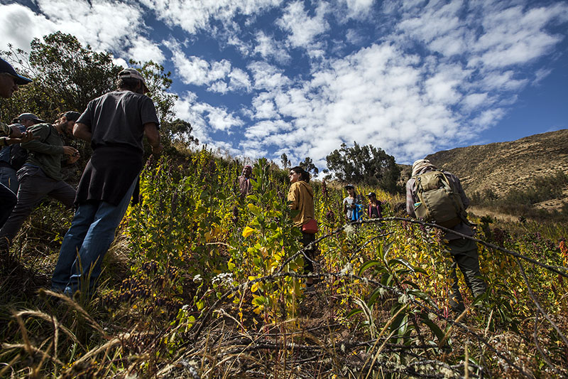
None of these walks cross empty ground. Santa Clara la Laguna, where clients start in the dark, is K’iche’, and San Juan below the ridge is Tz’utujil Mayan communities. The villages ringing the Antigua valley are Kaqchikel. The Cuchumatanes are Mam. Guatemala has twenty-two Maya language communities and most of them live in the highlands these trails run through, so the coffee under your clients feet on the way down from El Hato belongs to somebody, and they will walk through non touristy and rather working trails. Clients walk alongside local guides from the communities themselves.

Guatemala Group Hiking

If you would like more information about these experiences and destinations with Bruce Guatemala, please contact millie@americas.co.uk